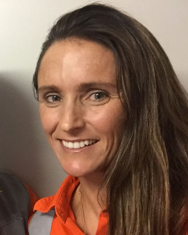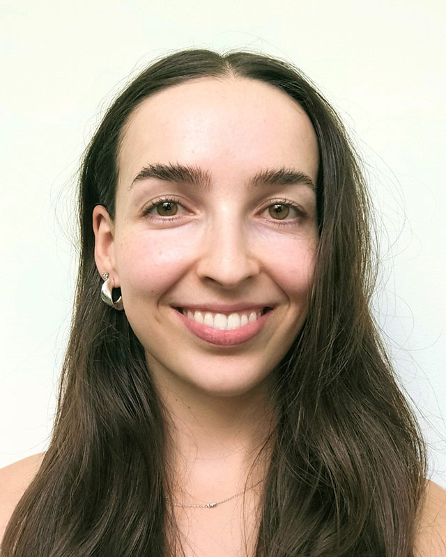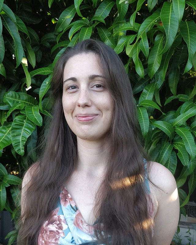
John Bishop Founder and Director
BSc. Geophysics (University of Sydney); PhD. Geophysics (Macquarie University)
John started his career with the NSW Geological Survey and then worked for small Australian consulting firms before joining the Geophysics Department at Macquarie University. In 1980, he formed Mitre Geophysics Pty. Ltd. (History).
John has experience in most geophysical methods, applied to most types of metalliferous deposits, plus coal and geothermal resources (Projects). He has helped develop a number of geophysical techniques including downhole magnetometric resistivity, spectral induced polarisation and simultaneous self potential, and is a co-recipient of the ASEG’s Laric Hawkins prize for innovation in geophysics.
Work with Mitre has taken John throughout Australia, South America, Africa, Europe and South-East Asia. He has presented at several international conferences and held workshops and short courses in a number of countries. John has co/authored more than twenty-five papers and co-edited a special volume of Exploration Geophysics focusing on downhole electromagnetics.
John is a past Federal Treasurer of the Australian Insititue of Geoscientists (AIG) and a former district president of the AusIMM. He is currently the Industry Mentor for the Student Branch of the Society of Economic Geologists at the University of Tasmania where he is also an Honorary Associate. John is a member of Australian Society of Exploration Geophysicists, Geological Society of Australia, a Fellow of the Society of Economic Geologists and member of the Australian Institute of Company Directors. He has been closely involved with a number of private and public resource ventures and is currently a director of two energy companies.
Kate Hine (née Godber) Principal Geophysicist & Director
BSc. (Hons) Geology and Geophysics (University of Tasmania)
Winner of two ‘best paper’ awards at ASEG conferences, Kate is a versatile, experienced and successful geophysicist who has worked on a wide variety of commodities in a range of different geological settings, with some of the most interesting companies and exciting deposits worldwide. She has made several major discoveries through a combination of technical expertise and, more importantly, integration with the full exploration team. She firmly believes that if you want to be successful, you need to draw integrate expertise from across all disciplines.
In Kate’s portfolio of discoveries, several are more than 400m below surface with no surface indications. Kate has an excellent, broad skills based in exploration geophysics. Her expertise in exploration geophysics is such that she is frequently called upon to design geophysical strategies for large scale exploration projects. She has no particular bias towards any particular geophysical approach. Kate is especially well regarded for her skills in 3D integration of geophysical data with geology and geochemistry.
Past projects include large scale fixed-wing and helicopter EM surveys for metallic minerals, groundwater and coal; plus surface, downhole and underground exploration programs for many different styles of mineralisation, including Broken Hill Type, Cobar-style, iron-oxide-copper-gold and shear-hosted gold (Projects).
Along with colleague Guy Le-blanc Smith, Kate has pioneered and developed the use of SkyTEM airborne EM for line of oxidation (LOX) mapping in Central Queensland coal fields. For this work Kate was awarded the ‘Best Paper – Coal’ at the 2012 ASEG Conference in Brisbane, Australia.
Kate is a member of the Australian Society of Exploration Geophysicists, Society of Exploration Geophysicists and Australian Institute of Geoscientists.


Dawn Hendrick Geospatial Consultant
BSc. (Hons) Geological Sciences (Birmingham University); MSc Mineral Exploration & Mining Geology (Leicester University); Grad. Dip. GIS and Remote Sensing (Charles Stuart University)
Dawn started her career in the UK seismic exploration industry before emigrating to Australia in 1985. In 1991 she started her own mapping consultancy based in Brisbane and moved to Tasmania in 2010. Dawn’s clients have included local and state government departments and private and listed companies, mostly in the resource, environmental and engineering sectors.
Dawn was awarded GISP-AP Certification in 2007 and again in 2013. She has also completed 30 years as a Topographic Engineer in the Army Reserve. She has presented papers at several conferences and regularly conducts training courses in geospatial software (MapInfo and QGIS). Dawn has previously held roles in the Surveying and Spatial Sciences Institute (SSSI) as a Queensland Regional Committee member & CPD Committee Chair; representative for the Spatial Information and Cartography Commission (SICC) and Women in Spatial and completed a four year stint as a member of the GISP-AP Certification Panel. Dawn is currently a member of the Geological Society of Australia; Australia and New Zealand Maps Society and the Mapping Sciences Institute of Australia.
In November 2017 Dawn joined the staff of the National Environment Centre in Thurgoona, NSW (part of TafeNSW) as a teacher of the Certificate IV courses in Spatial Information Services and Land Surveying. Her role includes course material development and face-to-face participation in residential workshops for online (distance education) students.
Nick Direen Principal Geoscientist & Director
PhD, BSc. (Hons) Geology & Geophysics (University of Tasmania)
Nick is a multi-award winning geoscientist, recognised for his contributions in both geophysics and geology by both ASEG and the GSA (Stillwell & Howchin Medals). He is also one of Australia’s most versatile geoscientists, having worked across his career in government (Geoscience Australia 1999-2002), academia (U.Adelaide 2002-2007), minerals & energy consulting (Frogtech Pty Ltd 2007-2013) and in the global energy industry (ExxonMobil 2013-2021). He joined Mitre in 2021 after returning from the USA to Australia.
Nick has expertise in the theory and application of potential fields (gravity & magnetics) methods to structural and tectonic problems, and for subsurface prospecting for many mineral commodity types and hydrocarbons. He was a pioneer of the use of multi-scale edge analysis of gravity and magnetic data (“worms”); of the integration of gravity, magnetics and petrophysics with seismic reflection profiling; and of the application of the magnetotelluric method to minerals systems. He was a co-author of the well-known “finger of GOD” paper on Olympic Dam in 2006, among many other contributions to exploration geoscience (see publications).
Prior to joining Mitre, Nick completed projects on the structure and fluid pathways around the Lachlan foldbelt porphyry Cu-Au deposits; the Olympic Dam IOCG system; and the Challenger Au mine. Nick has successfully worked in the field in the USA, UK, Canada, Libya, Saudi Arabia, Iraq, Romania, India & Nepal. He has been a crucial member of teams that discovered the Muruk gas field in PNG, Bajo del Choique unconventional field in Argentina, the Barracuda & Dorado discoveries offshore Sri Lanka, and the Pirmam field in Kurdistan / Iraq.
At Mitre, Nick has worked for clients evaluating IOCG in the Tennant Creek mineral field, Besshi-style polymetallics in the New England Orogen, Cu-Au skarns in the Lachlan foldbelt, orogenic Au in the eastern Victorian goldfields and the Koonenberry Belt (WNSW), polymetallic Cobar style deposits and MVT Ag-base metal deposits in NSW, and Ni and W skarn deposits in Tasmania. Nick utilises a synoptic approach to his work for clients, integrating gravity, magnetics, seismic (where available), airborne EM, DHEM and ground EM, together with structural and assay information for optimal target analysis.
Nick also holds a Graduate Certificate in Applied Finance from the Securities Institute of Australia, and worked for 3 years at ExxonMobil as a business development portfolio analyst; as such, he intimately understands the fundamental economic drivers for resource development projects.
Nick is a member of the Australian Society of Exploration Geophysicists, the Society of Exploration Geophysicists, the American Association of Petroleum Geologists, and the Geological Society of Australia; and a Fellow of the Australian Institute of Geoscientists and the Society of Economic Geologists.


Fionnuala (Finn) Campbell – Project Geophysicist
B.Sc Geology (UTas) B.Sc Hons I (Curtin University).
In her honours year, Fionnuala received an ASEG Research Foundation Grant for her research project ‘Evaluation and comparison of the near-surface Loupe TEM System’, completed in collaboration with IGO Limited. For her work, Fionnuala was awarded the WASM Silver Medal for Geophysics, for the top achievement in the discipline.
Starting in 2019, Fionnuala gained geophysical experience as a Vacation Student and as a Student Geophysicist during her final year of studies with IGO, focusing on time-domain electromagnetic data collection, analysis, and processing for Ni sulphides in Western Australia.
In 2020, Fionnuala joined consulting firm Terra Resources, where she gained practical skills in data processing, survey planning, geophysical modelling, and geological interpretation. During this time, Fionnuala contributed to projects in the WA Goldfields and Pilbara regions for gold and nickel sulphides, utilising a combination of AEM, geochemical surface sampling data, magnetics, gravity, and geological information as the basis of an integrated approach to exploration for the client.
Other projects included regional scale geological interpretation and airborne EM interpretation in the Athabasca Basin and Abitibi Greenstone Belts in Canada for NiS mineralisation; magnetic modelling for porphyry targets in Ecuador and Cambodia; and IP and Resistivity data QA/QC and processing, for Cu/Au deposits in the Iberian Pyrite Belt. Fionnuala was also part of a geoscience expedition to Greenland in 2022.
In May 2023, Fionnuala joined Mitre Geophysics in Perth as a Project Geophysicist. During this time, her work has been focused on assisting with integrated geological interpretation, gravity processing and integration, along with regional magnetics processing, and DHEM interpretation.
Fionnuala is an active member of the Australian Society of Exploration Geophysicists.
Kelly Vaughan-Taylor – Junior Geophysicist
B.Sc Geology and Geophysics (Macquarie University); Masters of Earth and Environmental Science (Macquarie University)
Kelly has always had a passion for geology having spent most of her youth among the caves of Jenolan. During her undergraduate degree, she was involved in numerous field work exercises in both geology and geophysics within New South Wales and South Australia. She graduated from Macquarie University in 2020 with a Marsters in Earth and Environmental Science, focusing on probabilistic inversion of melting models beneath the Australian Cenozoic Newer Volcanics Province.
Prior to joining Mitre, Kelly worked at the Institute of Mine Seismology in real time seismic monitoring of mines and passive seismic monitoring of tailings dams. She also worked in seismic exploration with the acquisition and modelling using ambient noise tomography in Tasmania.
At Mitre, Kelly has worked on a variety of projects around Australia and internationally focusing on EM methods including surface, downhole and underground exploration. Through this work she has gained experience in processing, survey design, modelling, and the integration of datasets with geology and geochemistry. She has also gained experience with IP, magnetics, DHMMR, EM inversion modelling and historical geophysical compilation and integration.
Kelly is a member of the Australian Society of Exploration Geophysicists.


Rob Angus - Principal Geophysicist
BSc Mathematics (UWA) BAppSc (Hons) Geophysics (Curtin University) MSc Geophysics (Curtin University)
Rob joined Mitre Geophysics at the start of 2023, bringing over 30 years of experience as an Exploration Geophysicist working across a broad range of techniques and applications as both a company geophysicist and an independent consultant.
After graduating from Curtin University in 1992 Rob started work for Placer Exploration based in Brisbane and for eight years was responsible for management and implementation of geophysical programs in eastern Australia, Indonesia, and the Philippines. Major projects included the geophysical definition of the Osborne Cu-Au Deposit south of Cloncurry QLD and the use of Downhole EM to define extensions to the deposit at depth. At Placer Rob was exposed to a wide range of geophysical applications including generative review, project evaluation, green-fields exploration and near mine and in-mine exploration.
Rob started independent consulting company RAMA Geoscience in 2004 servicing major mining companies, small producers, government departments and emerging junior companies. Some of his major successes include leading the development of extensive systematic deep exploring IP surveys around the Pajingo Gold Mine to explore for epithermal gold vein systems, assisting MMG with all geophysical surveys around the Century Zinc mine including definition of numerous mineralised vein systems, development of large Gradient Array survey approach for Rio Tinto in the Patterson province in WA using forward modelling and hypothesis testing, and using gravity to estimate waste basalt cover over coal deposits for New Hope in SE Qld. Rob has also contracted to Geoscience Australia supervising large Airborne EM surveys for groundwater applications, and spent many years embedded in Nautilus Minerals exploring for sea-floor massive sulphide (SMS) deposits in PNG and the SW Pacific. At Nautilus Rob’s work lead directly to the discovery of several new SMS deposits in the Bismarck Sea (PNG) and Lau Basin (Tonga).
Since joining Mitre, Rob has become Mitre’s expert on using IP to explore for multiple styles of mineralisation. Projects are spread across a wide array of mineralisation styles and geographical locations ranging from Kazakhstan, to the Athabasca Basin in Canada, to Northern Chile, as well as Qld, NSW, SA and the NT across Australia. He brings a widely recognised industry reputation for well-designed geophysical surveys focussed on the primary aims of his clients, and for supplying concise, practical and realistic interpretations.
Rob is a member of the Australian Society of Geophysicists, the Society of Exploration Geophysicists (USA) and the Australian Institute of Geoscientists.
